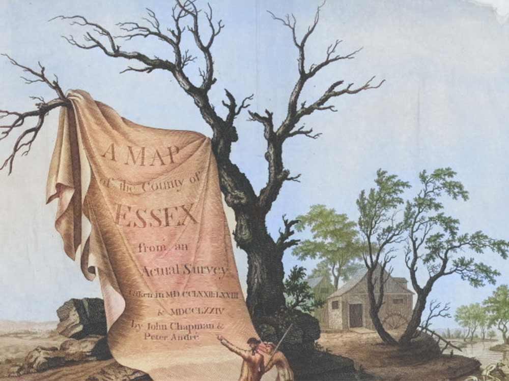
The Finest Map of Essex
Introduction
The Chapman & Andre Map of Essex was published on a scale 2″ to the mile & was the first map of Essex to illustrate every country house, minor lane, ferry, creek, etc.
Speaker
Peter Walker
Peter is a retired accountant who has been collecting and studying maps of Essex for over 25 years, and assisted in cataloguing the ERO’s collection of printed maps of Essex
Date & Time
Wednesday 26th February 2025
7.45 pm
Further Information
The ancient county of Essex is represented in many maps from the sixteenth century onwards, a large number of which can be found today at the Essex Record Office.
Date
- Feb 26 2025
- Expired!
Time
- 7:45 pm - 9:00 pm
Location

- Quaker meeting house, High St, Saffron Walden CB10 1AA
- https://www.quaker.org.uk/meetings/saffron-walden
- 01799521832
Organizer